Every year, more data about Lake Champlain and its watershed is posted online. These data are collected by many entities such as local, state, and federal groups, students, universities, and volunteer groups. The links posted here are organized by category. Please contact us if you would like us to link to a site.
Please Note: The LCBP is not responsible for the content or accuracy of the data in these linked sites.
Aquatic Nuisance Species Data
- Aquatic Invasive Plant Location Maps in Adirondacks (APIPP)
- Lake Champlain Zebra Mussel Monitoring Program (VT DEC)
- Zebra Mussel Distribution in U.S. Lakes Map
- Zebra Mussel Query by State (USGS) *Maps up-to-date national observations
- Zebra Mussel Distribution in North America *Animated map of US progression
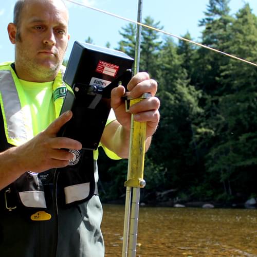
Lake & Stream Water Level/Flow Data
- Lake Champlain Data – Lake Levels (NOAA)
- Lake Champlain Gage in Burlington, VT at ECHO (USGS)
- New York Current Surface Water Conditions (USGS)
- Niveau d’eau à la station Lac Champlain à St. Armand, Quebec / Lake Champlain Water Level at St. Armand, Quebec (QC MELCC, French only)
- Northeast River Forecast Center (NOAA)
- Real-Time Stream Flow Data (USGS)
- Stations hydrométriques du Quebec / Hydrometric Stations in Quebec (QC MELCC, French only) *Click on the map for stations near Missisquoi Bay
Maps & GIS Data
- Adirondack GIS Data (NYSGIS)
- Adirondack Maps and GIS/Land Classification Maps (APA)
- Atlas sur l’état de l’environnement au Québec / Atlas on the State of Quebec’s Environment (QC MDDELCC, French only)
- Cornell University Geospatial Information Repository
- Impervious surface shapefile for Lake Champlain Basin (NY & VT)
- Lake Champlain Basin Atlas (LCBP)
- Land Cover (NY & VT): 10-meter | 1-meter (UVM SAL 2018)
- LiDAR Data: The National Map (USGS)
- New York State Biodiversity Mapping (NYS DEC)
- Québec Biodiversity Atlas (QC MDDELCC)
- The National Map (USGS)
- Vermont ANR Agency Maps and Mapping/Vermont Natural Resources Atlas (VT ANR)
- Vermont Center for Geographic Information (VCGI)
- Vermont Town Highway Maps (VTrans)
Nautical Charts for Lake Champlain (NOAA)
- Riviere Richelieu to South Hero Island
- Cumberland Head to Four Brothers Islands
- Four Brothers Islands to Barber Point
- Barber Point to Whitehall
- Burlington Harbor
Terrestrial & Air Data
- Forest Ecosystem Monitoring Cooperative (formerly Vermont Monitoring Cooperative)
- National Atmospheric Deposition Program (NADP/MDN)
- National Atmospheric Deposition Program (NADP/AIRMoN)
- Vermont Real-time Air-Quality Data (VT DEC)
Water Quality Data
- Adirondack Lake Data (ADK Lakes Survey Corporation)
- Colchester Swim Advisory Website (Beach Closing Info)
- Englesby Brook Project – Burlington, Vermont (USGS)
- Lake Water Quality Summary Reports (VT DEC Vermont Lay Monitoring Program)
- Lake Champlain Long-Term Water Quality and Biological Monitoring Project (VT DEC)
- Liste des plages admissibles pour la région administrative de la Montérégie et Classification de la qualité bactériologique des eaux de baignade / List of Public Beaches in the Montérégie Region and Bacterial Sampling for Swimming (QC MELCC, French only)
- Mad River Watch E. Coli Sampling
- Portrait global de la qualité de l’eau des principales rivières du Québec: 2004 / Global Picture of the Water Quality in Major Quebec Rivers: 2004 (QC MELCC, French only)
- Vermont 2012 Water Quality Integrated Assessment Report- (VT DEC)
- Vermont Clean Water Initiative – VT DEC
- Vermont EPSCoR Streams Project (University of Vermont, Saint Michael’s College)
- Vermont Lake Scorecard
- Vermont Stormwater Program
Weather & Climate Data
- Burlington/Regional Forecasts (National Weather Service) *Covers most of LC Basin
- Canadian Weather/La météo au Canada (Environment Canada)
- Daily Snowfall Map of the Northeast (NOAA)
- ECHO Lake Aquarium and Science Center on Burlington – Lake Weather
- Vermont State Climate Office
- New York State Climate Office
- Northeast Regional Climate Center
- QC MELCC Air and Climate
- USGS Lake Gage at ECHO
- Vermont EPSCoR Regional Adaptation to Climate Change
